


In summer, 2 lifts provide access to the Grand-Bornand area : Rosay Cable Car, and Lachat Chairlift.
Dogs are allowed on all facilities. They are under the responsibility of their masters and must be kept on a leash on the installation but also in the mountains.
Rosay Cable car (from the Village) and Lachat Chairlift are accessible to pedestrians (moutain bike and strollers for Rosay), and paragliders.
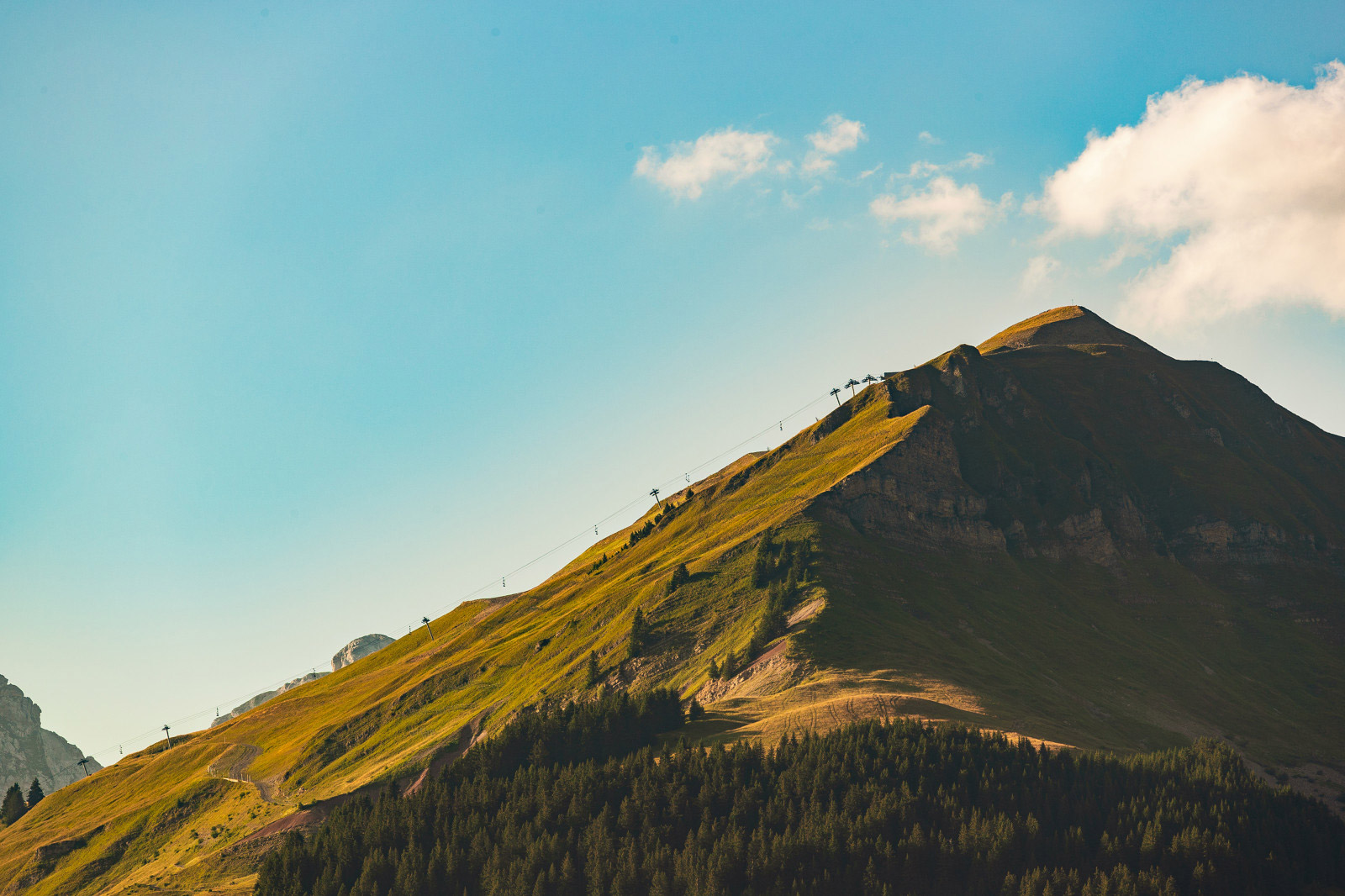
The summit of Lachat is the highest point of the ski area in winter at more than 2000 m altitude, It is a famous take-off area for paragliding.
Sporty or contemplative will be satisfied and an orientation table will allow you to observe an exceptional 360° panorama on the Jura, the Massifs of Bauges, Chablais, Bornes, Aravis and Bargy as well as on the summit of Mont- Blanc and the highest peaks of the Alps.
The Rosay Cable Car is available from the village for pedestrains, strollers, moutains bikes ans paragliders.
Water point at the foot of Rosay for cleaning mountain bikes.
215 g of Co2 is generated for each ride.

The Lachat chairlift is available from the village by the Rosay cable car. Also available by car from the Outalays road (reachable from the Chinaillon).
The Lachat detachable chairlift accessible in summer to pedestrians and paragliders.
From the summit of Lachat, enjoy a panoramic moment over the Aravis chain. Located in an exceptional setting, sunbathing and picnic facilities await you for a special moment of relaxation. Activity areas will also allow you to work on precision, balance and skill with friends or family.
A pétanque court (with loan of bowling games for adults and children), Breton shuffleboards, deckchair and a Mölkky game are available to all.
-> New: the equipped panoramic trail of Mont Lachat: 550 m loop accessible by the whole family, orientation table, giant photo frame.
The chairlift is usable in summer for pedestrians, and paragliders. Chairlift inacessible by moutain bike.
215g of Co2 is generated for each ride.
Download the simplified plan summer
Download the Grand-Bornand village pedestrian map
On sale at the Tourist Office : :
-> Map of hiking routes Tournette-Bornes-Aravis – 5 €
-> Map of moutain bike route Tournette-Bornes-Aravis – 3 €
-> Family hikes Tournette-Bornes-Aravis – 3 €
-> Sport hikes Tournette-Bornes-Aravis – 3 €
Application Free -> Virées en Aravis (english version available)

![]()
![]()

Our schedules Subject to favorable weather conditions
Where can I buy my ticket on site ?
Summer tribe offer: for 4 people and more (including at least one child aged 5 to 17)
* 10% discount on cable car or chairlift access
* 20% discount on combined access
* 30% discount on combined day
Free for children under 5 years old (necessity to prove their age with an ID or else).
| Public rates Summer 2024 | Rates Pass’Loisirs | Rates disabled person | ||||
| Adulte | Enfant 5-14 ans | Adulte | Enfant 5-14 ans | |||
| TC ROSAY Cable Car | Access | €9.80 | €6.40 | €8.80 | €5.80 | €4.90 |
| TS LACHAT Chairlift | Access | €9.40 | €6.20 | €8.50 | €5.60 | €4.70 |
| Combined TC+TS Access | €13.10 | €9,20 | €11.80 | €8.30 | €6,60 | |
| Combined TC+TS Day | €19.80 | €14.30 | €9,90 | |||
| Combiné TC+TS Season | €170,00 | |||||
| 10* combined card TC+TS | €78.40 | |||||
The prices always include taxes, subject to modification.
*10 access card: one access = 1 round trip TC ROSAY + TS LACHAT
-> 10 access card is not nominative, you can use it for several people at the same time.
From the limestone faces of the Jallouvre to the coombs and lapiaz of the Aravis, between the breakthrough of the Cols de la Colombière and the Annes that Mont Lachat connects, Le Grand-Bornand offers more than 160km of marked hiking trails.
So many itineraries between pleasant mountain pastures and the impression of high mountains, to be explored freely or as part of the services offered by the Compagnie des Guides des Aravis.
Discover an intense pastoral life punctuated by the production of the famous farmer’s Reblochon, and the riches of the local architecture, flora and fauna: chamois, ibexes, marmots and other vultures (Gypaète), the largest raptor in Europe.
On sale at the Tourist Office :
-> Map of hiking routes Tournette-Bornes-Aravis – 5 €
-> Map of moutain bike route Tournette-Bornes-Aravis – 3 €
-> Map of moutain bike route Le Grand-Bornand – 3 €
-> Family hikes Tournette-Bornes-Aravis – 3 €
-> Sport hikes Tournette-Bornes-Aravis – 3 €
Choose hikes and routes according to your abilities (do not overestimate yourself…) the time and the difficulties (slope, uneven terrain…) indicated on the maps.
Know how to measure your speed in mountain biking / cycling.
-> Before leaving, take note of the weather forecast, the markings in place, find out about the current conditions (works, presence of névé) and check the condition of you cycle (mountain bike / bicycle)
-> Leave preferably in the morning (in the mountains thunderstorms are frequent in summer at the end of the day)
-> If possible, inform someone of the time of your departure and your return as well as your itinerary, avoid going alone
-> Do not rely solely on your mobile phone: it is not always possible to receive a network in mountain areas
-> Do not forget to take with you: – food and hydration; – clothing adapted to the weather, which can change (cap, sunglasses, sunscreen, etc.); – a fitted helmet and repairs for mountain bikers and cyclists; – a first aid kit; – a mobile phone and useful emergency numbers.
Namely : Rule of measurement : On a map at 1/25,000, 4 cm represent 1 km. A difference of 1 mm between two contour lines is equivalent to a slope of 40%.


